Description
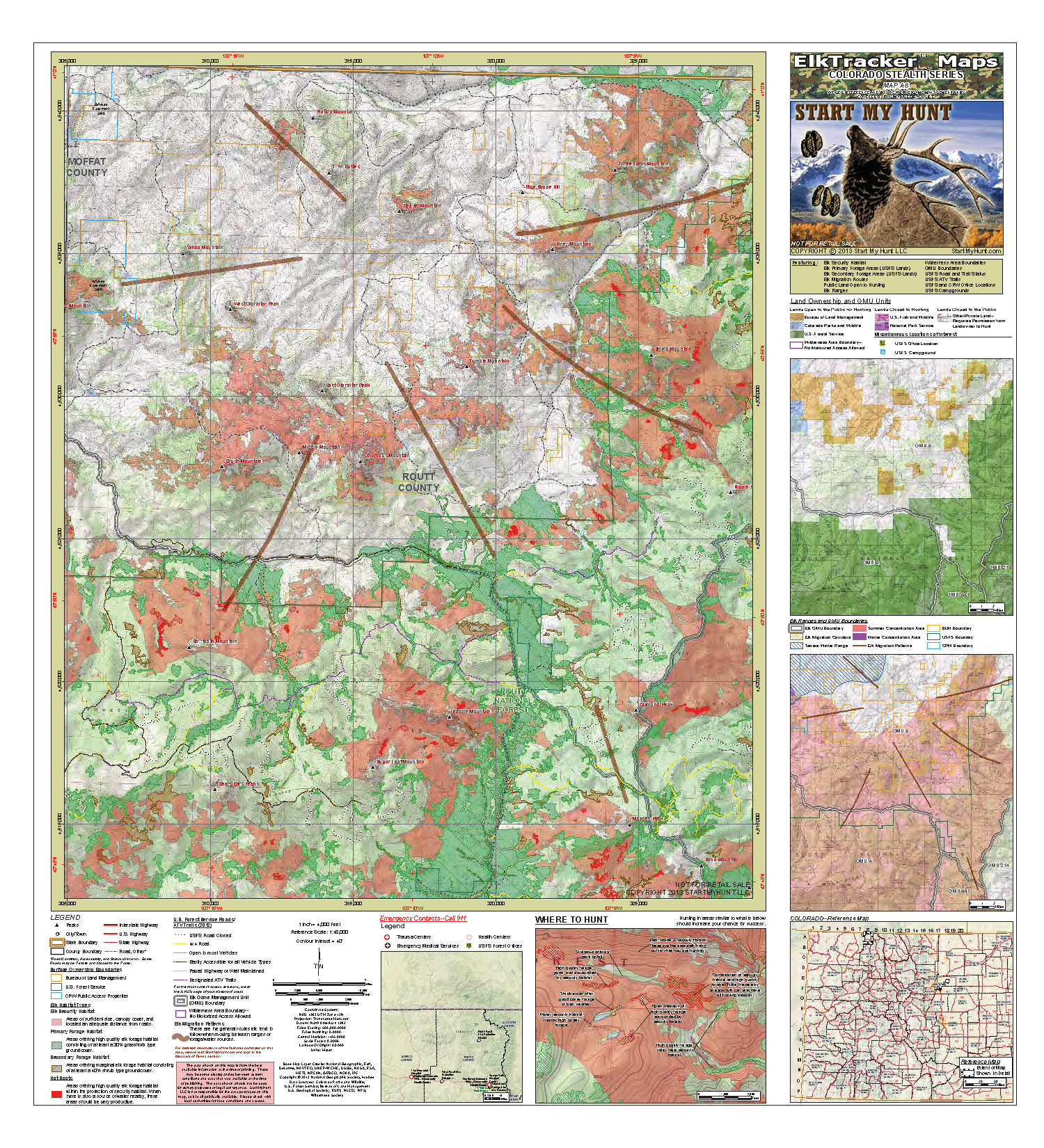
This map is printed on heavy duty paper and measures 30×32 inches in size. These maps have a topographical background and are displayed at 1:48,000 scale (1 inch on the map = 4,000 feet on the ground) in the Main panel. These maps are intended to show a large extent (about 15×18 miles) of the area you intend to hunt and are especially useful if you are new to an area since they allow you to survey a large portion of your hunting area. They feature elk forage areas, “Hot Spots”, and USFS roads and trails on National Forest Lands, as well as security habitat, land ownership, elk ranges, and much more statewide.


Reviews
There are no reviews yet.